Pennsylvania Counties
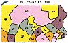
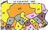
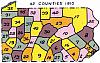
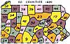
I animated a portion of the "Genealogical Map of the Counties" available at the Pennsylvania Historical and Museum Commission. Although it is not as useful without cities and towns, it's still fun to see how the county boundaries changed throughout history. Click a thumbnail on the left to move between maps, or click an icon on the right to move backward or forward, or play a slide show. You can also adjust the speed of the show to go slower or faster. (There may be a delay until all images are loaded. Also, the magnify button is not applicable. The viewer requires Javascript to be enabled in your browser.)
|
|
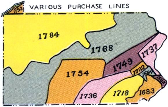
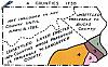
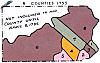
Pennsylvania Counties Various purchase lines. |
1 of 14
022771 |
")

Press ESC to Exit")


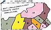
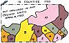
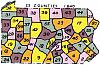
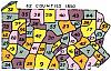
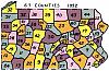
The counties depicted above are numbered in order, by year of formation:

Derived and adapted from the "Genealogical Map of the Counties" compiled and prepared in the land office, 1933. Tenth edition, 1985. Pennsylvania Historical and Museum Commission. Land Records at the Pennsylvania State Archives http://www.portal.state.pa.us/portal/server.pt/community/land_records/3184 downloaded June 2011.
Contact: Mike Voisin