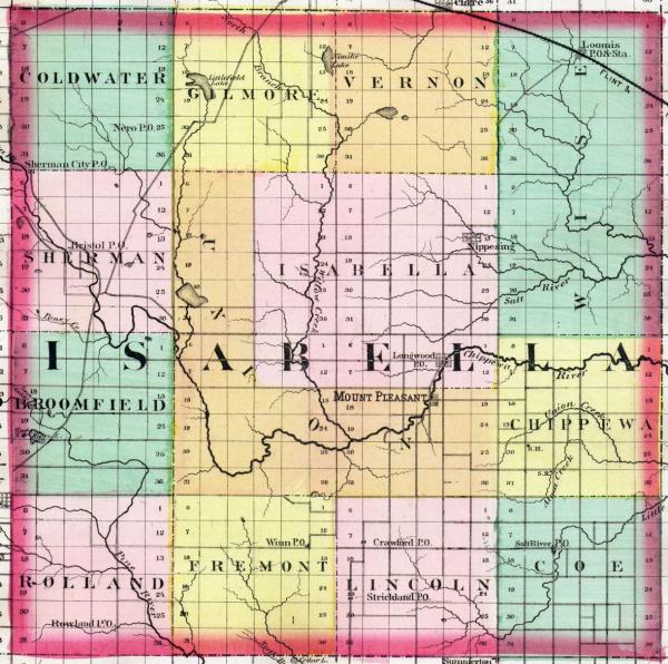
000828-01: Map of Isabella County
About 1873
An 1873 map of Isabella County, Michigan showing land that will eventually become Nottawa, Deerfield, and Union townships.
Source: Henry Francis Walling and Alexander Winchell, Atlas of the State of Michigan: Including Statistics and Descriptions of its Topography, Hydrography, Climate, Natural and Civil History, Railways, Educational Institutions, Material Resources (R.M. & S.T. Tackabury, circa 1873), Isabella County, micounty-2746566.0001.001-83; digital image, University of Michigan Digital Library, Michigan County Histories and Atlases (http://quod.lib.umich.edu/m/micounty/ : downloaded 3 December 2009.
Citation: Mike Voisin, iSeeAncestors (https://iSeeAncestors.com/tree/groups/public/media/si-00004-i21-12.php : revised June 12, 2023), Gallery.
Revised: June 12, 2023
Copyright © 2000-2023 Mike Voisin. All rights reserved.
